Putzentalalm - Rudolf Schober Hütte | Schladminger Tauern Trail Alternative
střední Hiking · Naturpark Sölktäler
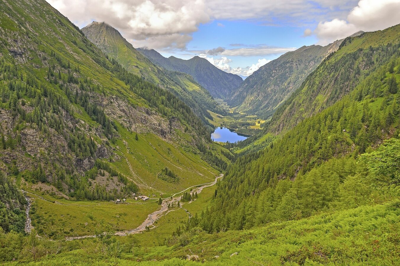
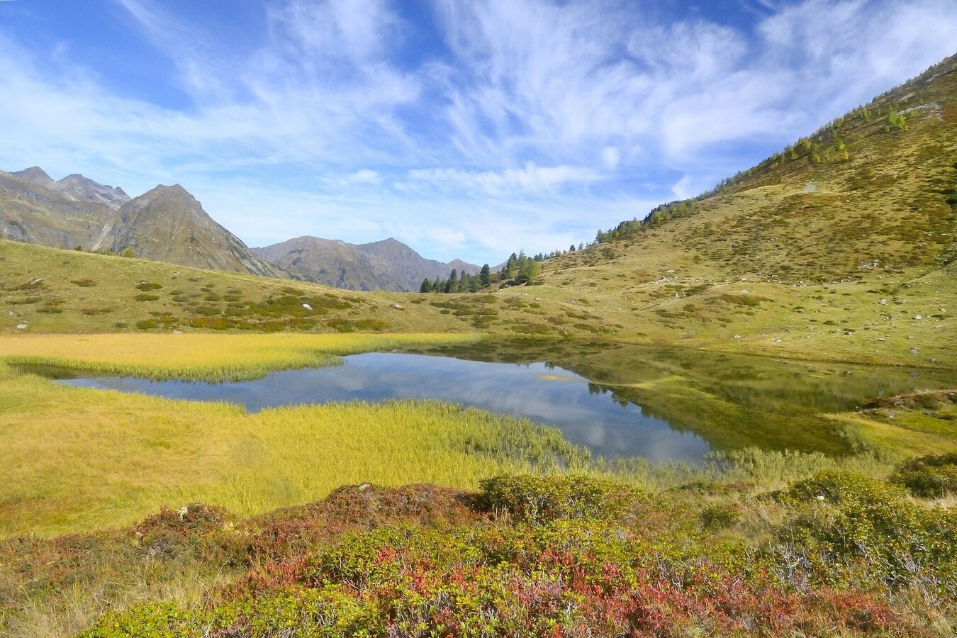
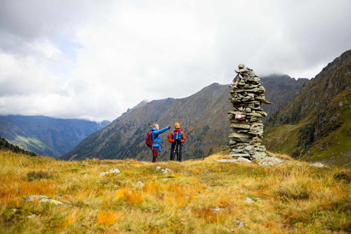
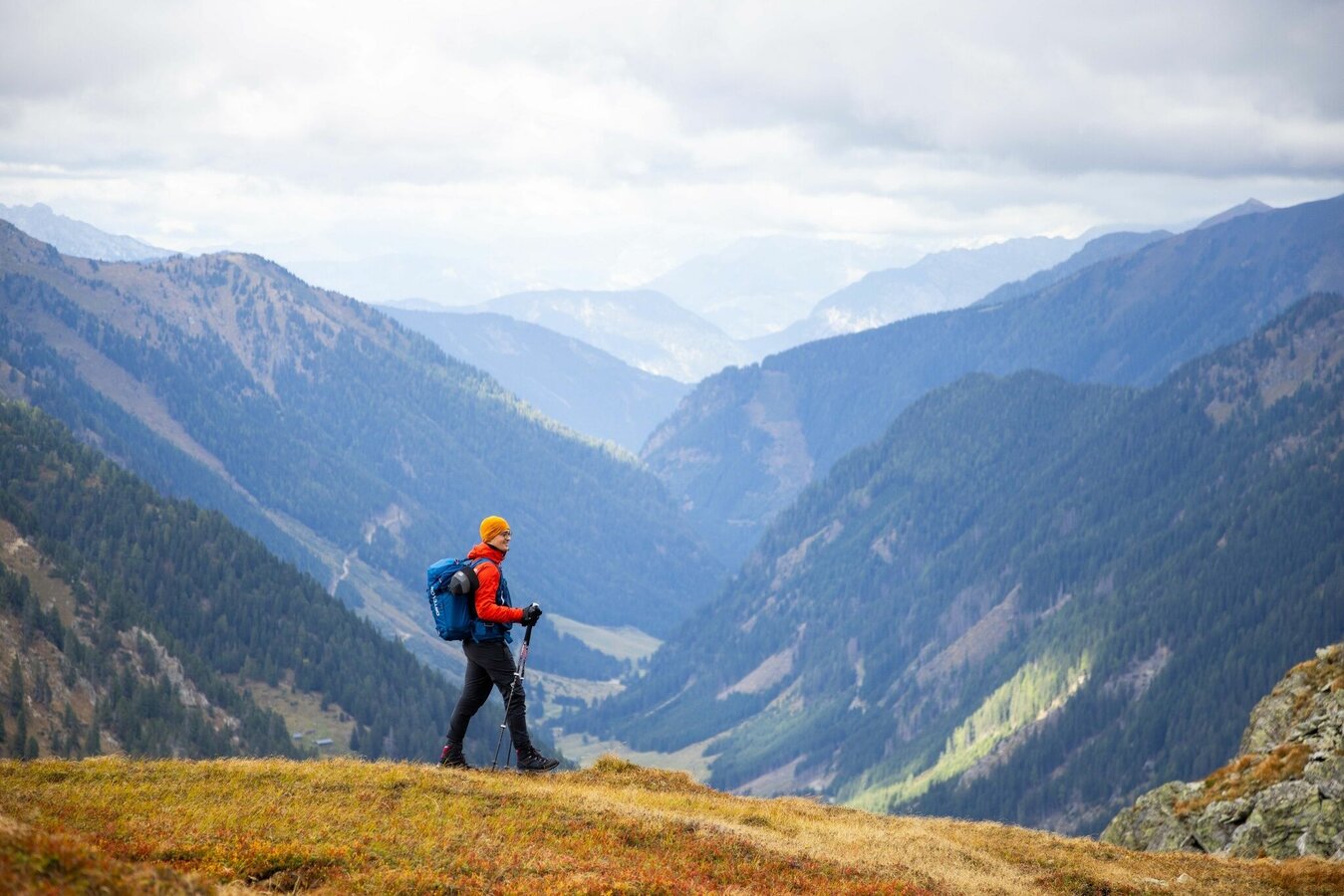
Like the 6th stage of the original route, the alternative from Putzentalalm is also one of the longer stages on the Schladminger Tauern Höhenweg. You hike over several mountain passes along the main Alpine ridge in the Schladminger Tauern. Prebertörl, Rantentörl and Hubenbauertörl are the defining crossings. And with the Hinterkarsee and the nearby Wiegenseen there are also beautiful mountain lakes on your way.
Fotogalerie
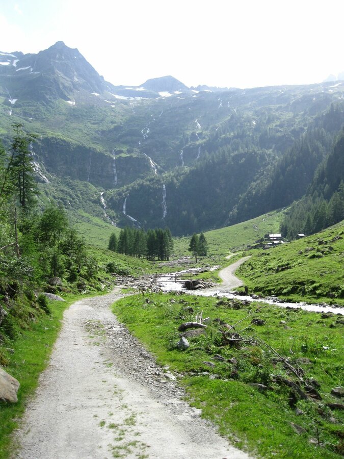
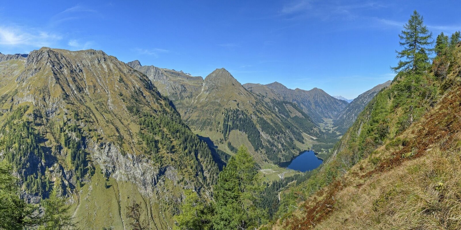
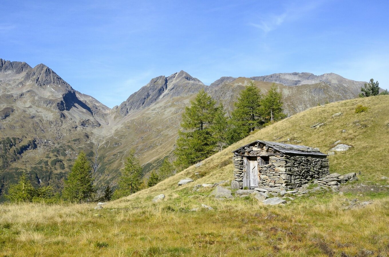
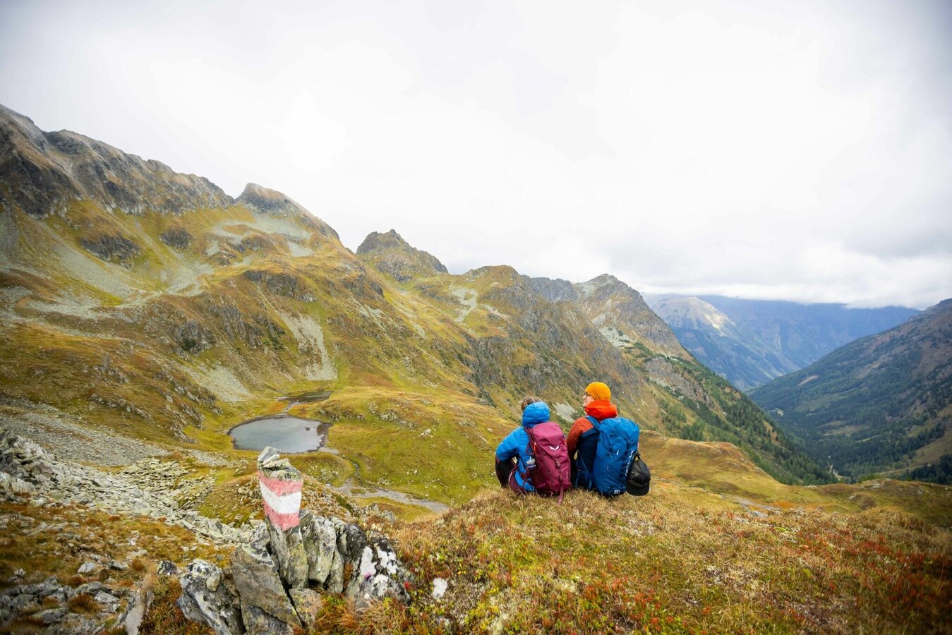
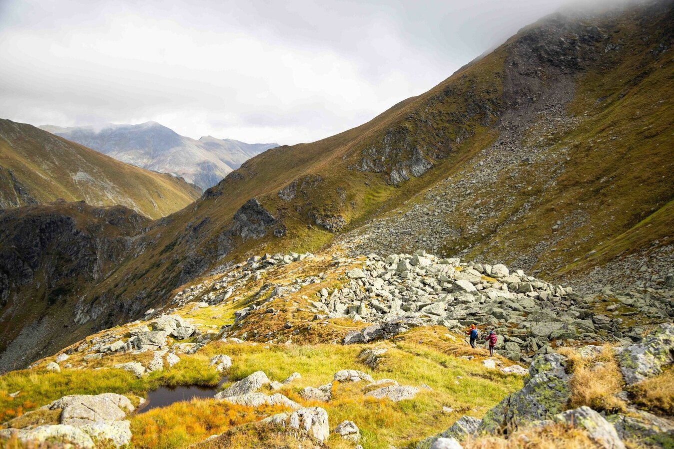
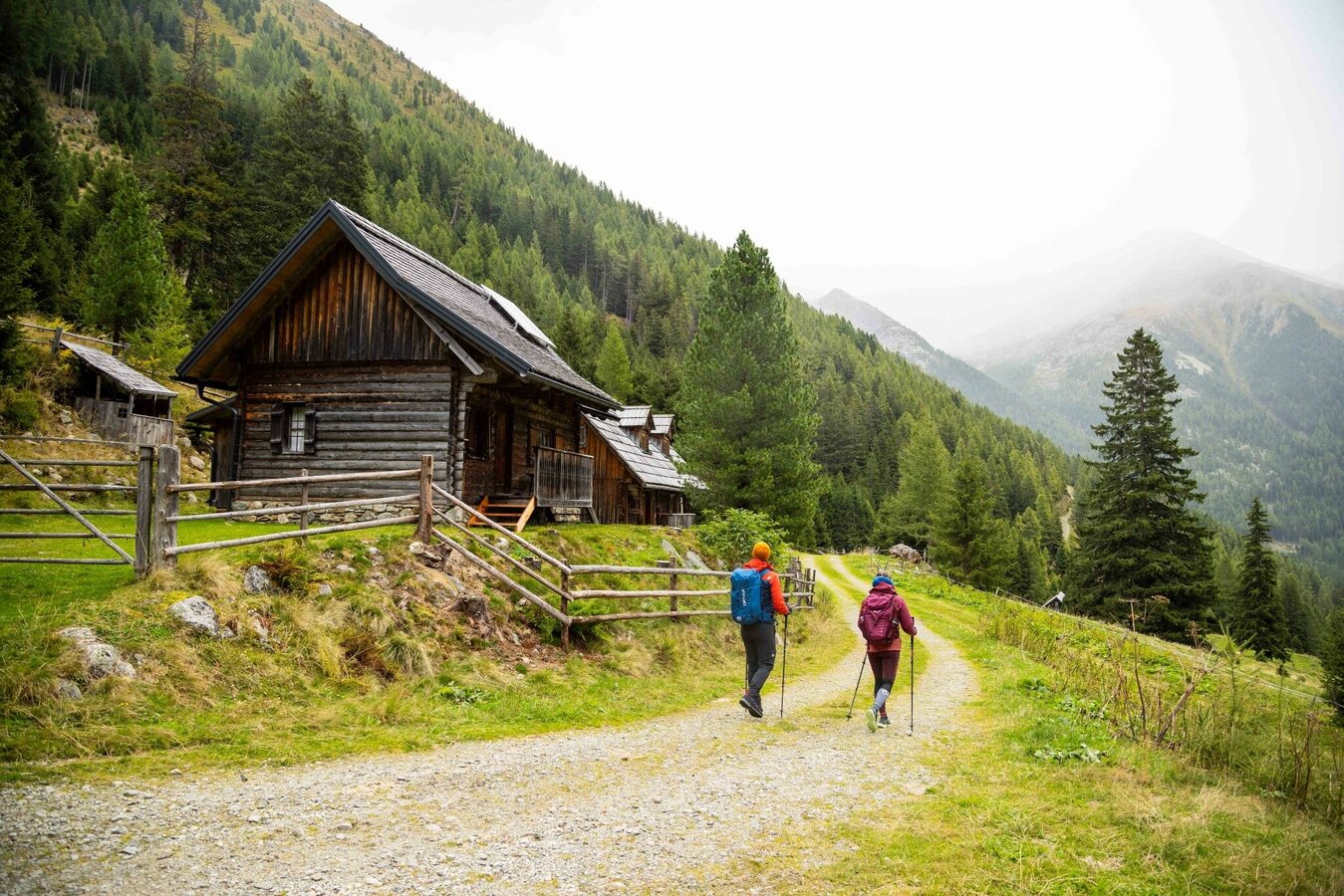
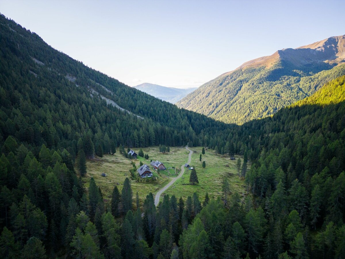
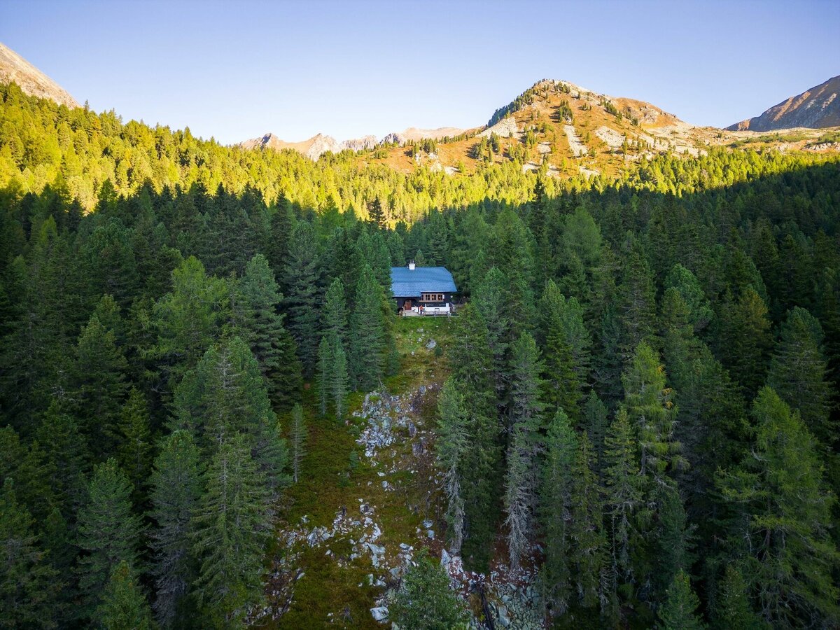


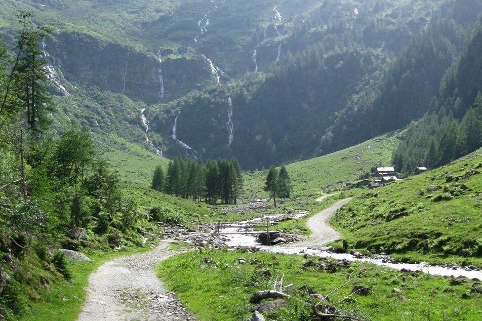
After spending the night at the Putzentalalm, you continue on hiking trail #786 to Prebertörl. Between Alpkarspitze and Opferstock you climb through the Alpkar up to Prebertörl. The last 200 meters are a short distance but very steep. From the Prebertörl you have a beautiful view of the Prebergraben and now cross the southern slopes eastwards below the Gamskarspitze and the Knarrnspitze. Soon you will reach the crossroads at Rantentörl, where you meet the original route of the Tauern Höhenweg. You follow path #702 down to Hinterkarsee, which is ideal for a rest.From there it goes briefly up to Hinterkarscharte (2,274 m) and on the northern flank from Kircheleck and Lachkogel over to Hubenbauertörl (2,050 m), where the path from the Striegleralm joins your path. Now it goes southeast downhill to the Hubenbaueralm and at around 1,550 m above sea level through the forest again northeast to the Grafenalm. Through a short stretch of forest uphill you finally reach the Rudolf Schober Hut.
In Pruggern (from the west) or Espang (from the east) exit the B320 Ennstalbundesstraße and go to Stein an der Enns. From there continue towards Kleinsölktal and at the fork in the road in Hinterwald turn right towards Breitlahnhütte/Schwarzensee. The road to the Breitlahnhütte is a toll road.
The starting point at the Putzentalalm can only be reached by hiking. You can get there on a hike of around 1.5 hours from the Breitlahnhütte in Kleinsölktal. You can reach this in summer (attention! Please note the timetable validity!) with the Sölker Tälerbus No. 946 from Gröbming.
Car parking at Breitlahnhütte.
Changes in weather patterns, quick falls in temperature, thunderstorms, wind, fog and snow are some of the dangers that can be encountered on a hiking tour. Hosts of alpine huts and mountain refuges have a lot of experience in the mountains and can give good advice about weather and the trails. Poor equipment, overestimation of one's own capabilities, carelessness, poor personal constitution and/or wrong judgement can lead to critical situations. In case of thunderstorms: avoid summits, ridges and steel ropes.
- Plan your tour in advance, taking into account walking time, route length, altitude difference, danger spots and weather forecast.
- Together is much more beautiful and at the same time safer in the mountains. Do not go alone, if possible, and adapt the tour to the ability of your group.
- Let them know where you are going and when you want to be back. Also sign hut or summit books.
GPS data and orienteering
Available GPS data - just like hiking maps - is only a guidance for orientation and can never depict a trail exactly with all its details. Especially at dangerous spots it is essential to judge on site how to proceed.
In an emergency please call:
- 140 - for Alpine emergencies (all over Austria)
- 112 - European GSM emergency number
A well-packed backpack is helpful and especially when touring Alpine terrain a tuque, gloves, a windproof jacket and pants are standard equipment. Good, waterproof shoes, sun glasses, sun cream and sufficient beverages are essential too. Torch light, a map of the area, knie and a small first-aid kit should also be in the backpack.
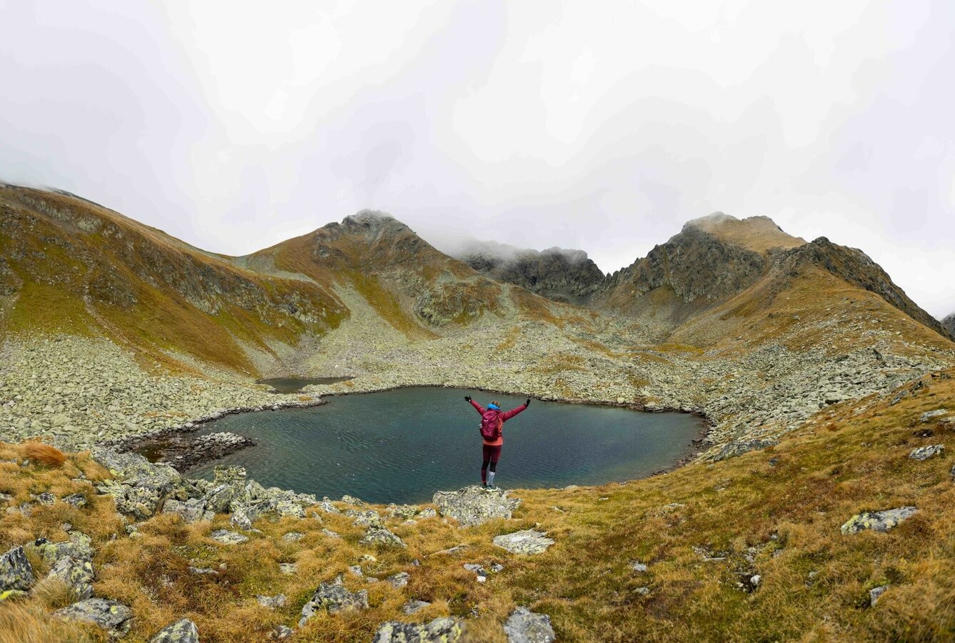
On long summer days, hikers in good physical condition can also take a detour to Lemperkarsee at the start of the hike.
Hiking map 1:50,000 Schladming-Dachstein, available from the Schladming-Dachstein Tourism Association and its information offices.


